Laugavegur Trail
Southwest, Iceland
・
July 2024
About the trail
Laugavegur trail is the most populate hike in Iceland. It consists of a 4-5 day through hike that stops at different huts where you can make camp. Along the trail you'll have folks who run the range from fully backpacking to having their gear shipped from hut to hut. All the while you'll experience 3-4 different biomes each day and some of the most breathtaking views we've ever seen.
The story
Day 1 - 6.5 mi (2,000 foot elevation gain)
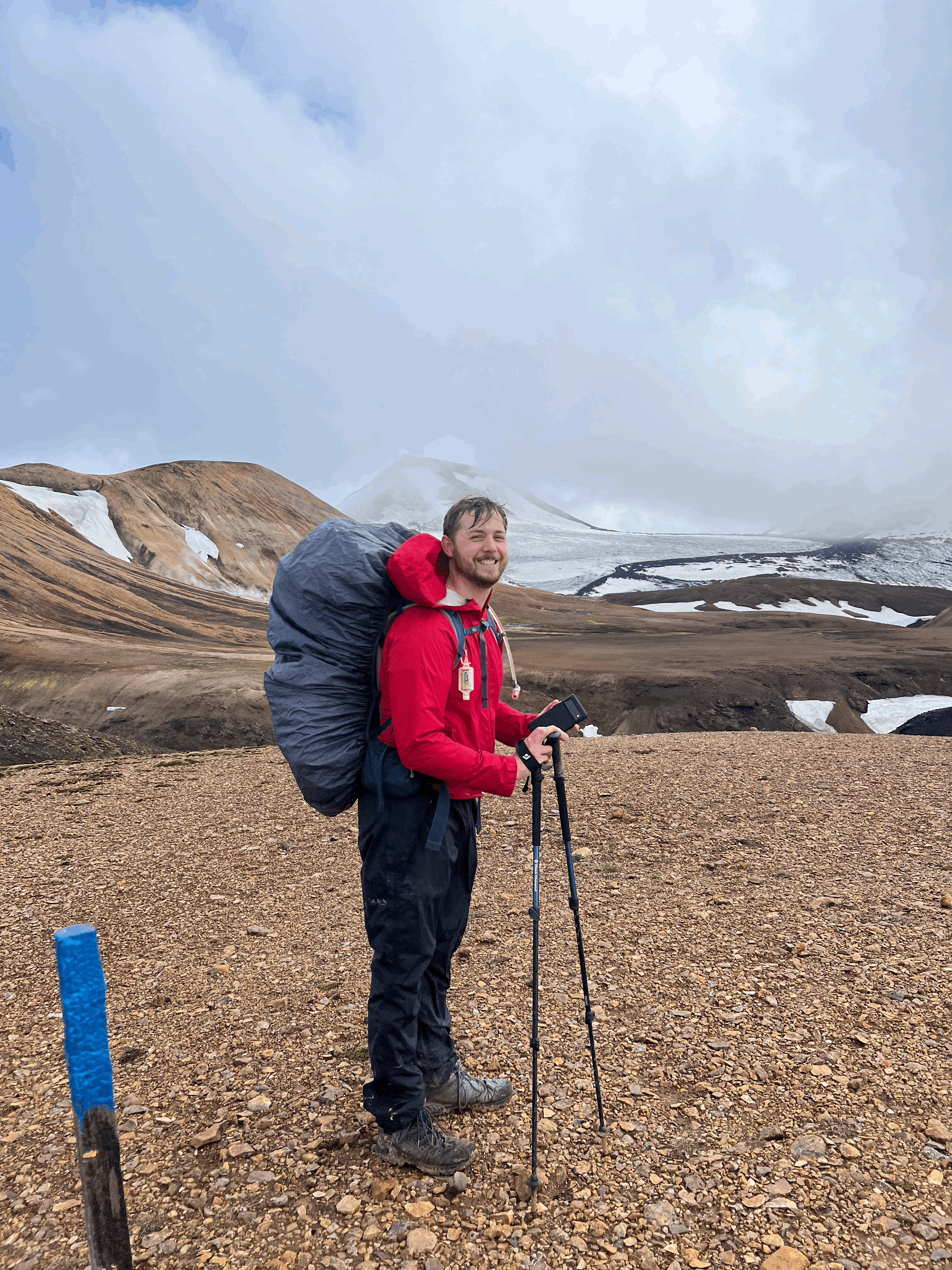
After landing in Iceland we stayed in Reykjavik for a day before renting a car and staying next to a shuttle pickup location. The day we started our hike we were picked up on an all terrain bus and were driven miles into the Icelandic wilderness through deep rivers and up rocky hills. Eventually we arrived at Landmannalaugar, the "base camp" for the whole trail. Since the day had already gotten well on its way, we immediately started hiking up what is definitely the steepest portion of the whole trail. Along the way we saw nigh-alien landscapes and breathtaking views. We also started talking with people who we'd be seeing for the next 4 days as we made camp. As we got to the top of the mountain the weather turned on us and we took shelter inside a shed along with basically everyone else. When it became clear that we could either set up a tent or try to hike down the mountain we decided to try to claim a good camp site early. We then slept in what is probably the worst wind storm either of us have ever experienced while backpacking.
Day 2 - 7.1 mi (1,500 foot elevation drop)
Once we'd woken up from what might have been one of the worst sleeps we'd ever had, we packed up our tent and started to hike onward. Shortly after starting the day's hike we came to what is quite possibly the most beautiful view we have ever seen. As you start the descent, the mountain opens up and you're able to see the entire valley, the next mountains in the distance, and the hut that you (might) be staying at that night. We continued this hike, starting to enjoy ourselves again, until we eventually arrived at the lake with a small "restaurant" and a hut. We stayed at the hut for lunch, had a beer with some soup, and then continued on to the next hut a few extra miles onward. This campsite had a bunch of little rock walls strewn about where we could set up our tents. It also had a large party who were staying in the hut, enjoying bottles of wine, and grilling enough food to feed an army. We, along with the other campers, smelled their BBQ as we quietly ate our re-hydrated backpacker meals before going to bed a little hungrier than expected.
Day 3 - 9.9 mi (725 foot elevation gain)
On day 3, we packed up our tent and enjoyed a mostly flat walk along a huge flatland of volcano rocks with massive mountains all around. This day the weather was cooperating and we had an all around lovely hike. The hut we stayed at on this night was down a little cliff where we got to sleep next to a little brook that flowed down the mountain side. The site also had large beer-garden style tents that everyone hungout in as they rested and cooked their dinners. We got to talk to all of the hikers we'd been saying hi to along the trail for the last 3 days and had an all around wonderful time.
Day 4 - 11.7 mi (1,800 foot elevation gain)
On our final day of hiking, we packed up and started heading on down the mountain. Along the way we saw a bunch of sheep as we got closer to civilization and crossed a few more rivers. With our final descent into Þórsmörk we went into the onsite restaurant had a beer and a burger before grabbing a shuttle back to our rental car.